[Courtesy of the Ministry of Land, Infrastructure and Transport]
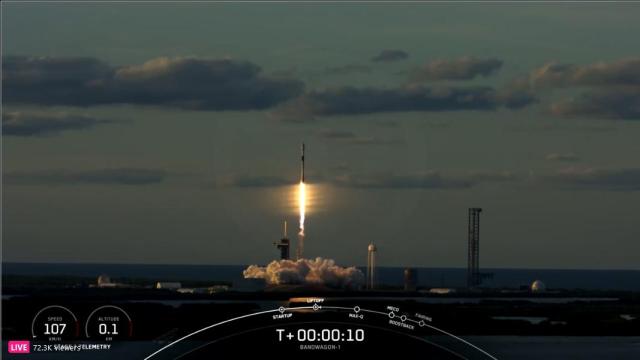
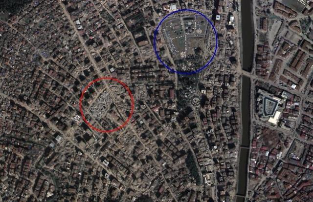
South Korea's transport ministry has provided emergency-related spacial information in domestic regions in case of natural disasters since 2020. In 2023, the ministry provided data for fire accidents in eight regions including Seoul. The solution was also used during the February earthquake in Turkiye that took the lives of more than 50,000 people.
The National Geographic Information Institute (NGII), affiliated with the transport ministry, was selected as the satellite operator by the International Charter, a global satellite image-based organization against major disasters, the ministry said on May 17. The institute currently has a land satellite that can distinguish 50-centimeter (19.6 inches)-long objects at an altitude of 500 kilometers (310 miles). The South Korean organization will make a global debut after completing follow-up measures by the first half of 2023. The International Charter provided satellite images and analysis information for some 780 disasters using more than 270 satellites.
In May 2022, South Korea's first private satellite for earth observation safely reached its target orbit for a one-month test operation at an altitude of 500 km to provide integrated image analysis services in high demand for satellite data in Asia and the Middle East. The low-orbit satellite named Sejong 1 was developed by Hancom Inspace, a subsidiary of South Korea's Hancom Group. The company unveiled its scheme to launch more than 50 cluster satellites and provide video services that can be used to analyze crop conditions and predict grain production.
reporter

Kim Joo-heon
jhkim123@ajunews.com